
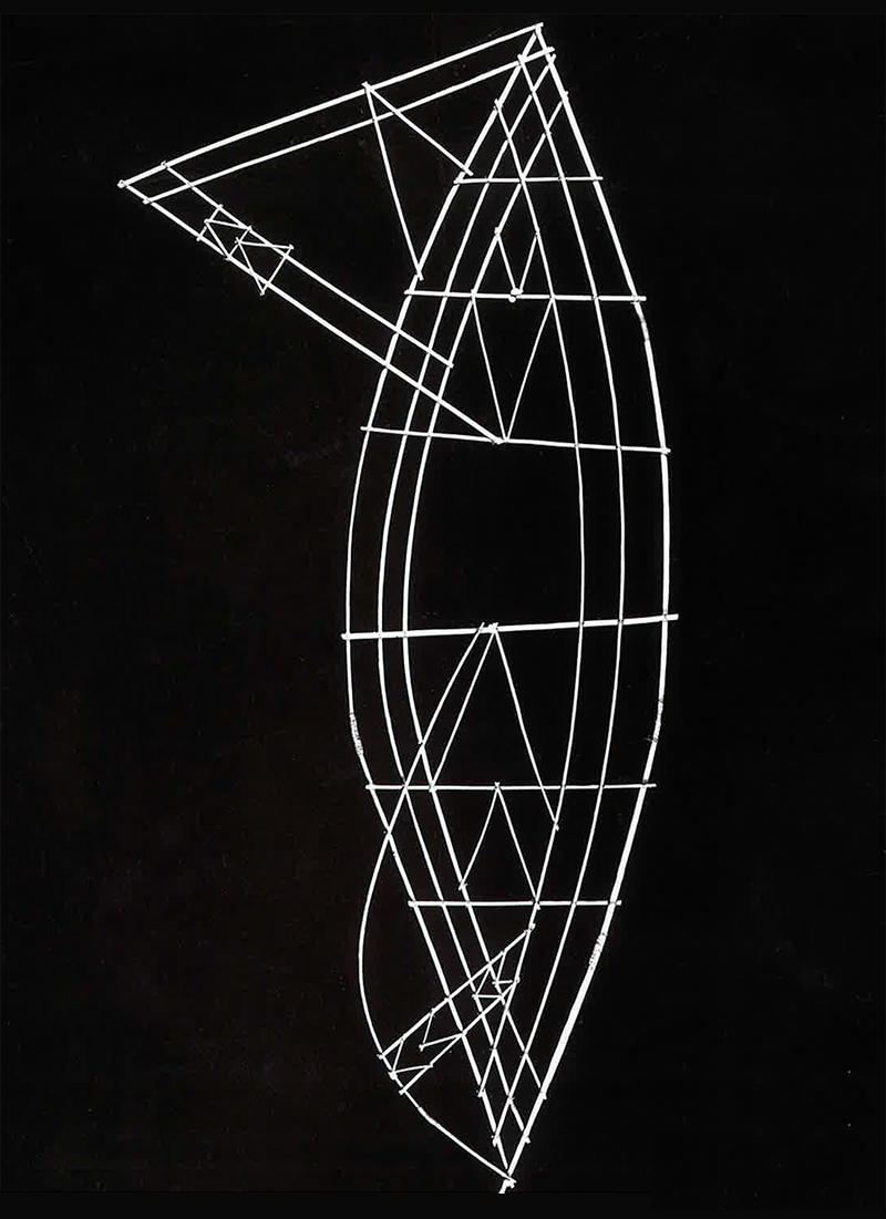
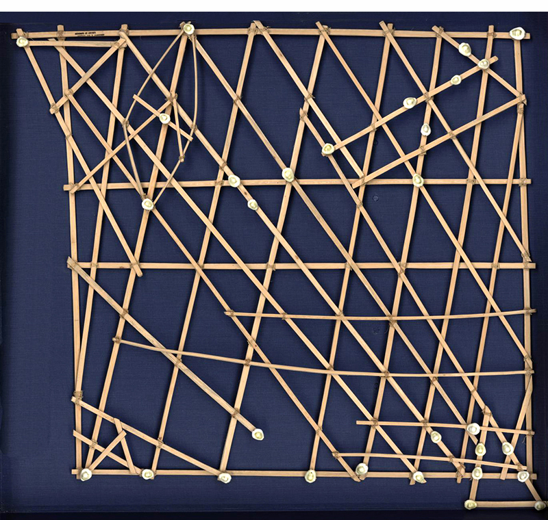
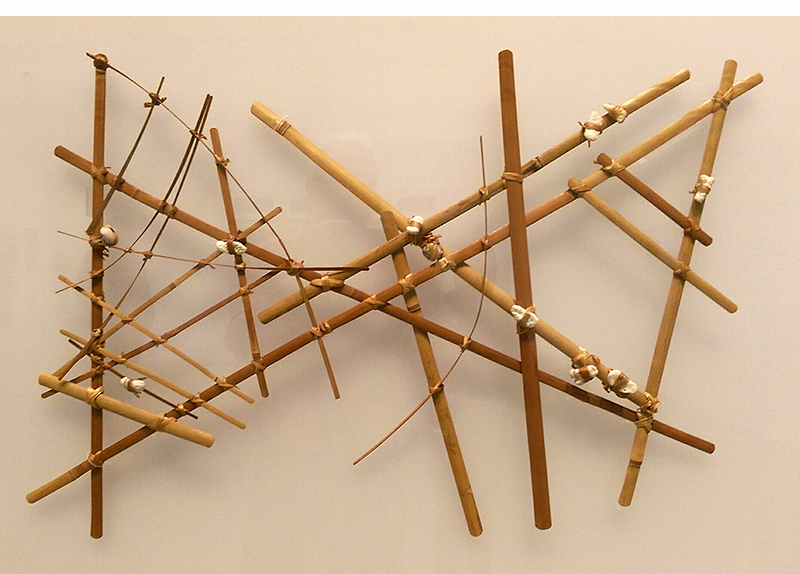
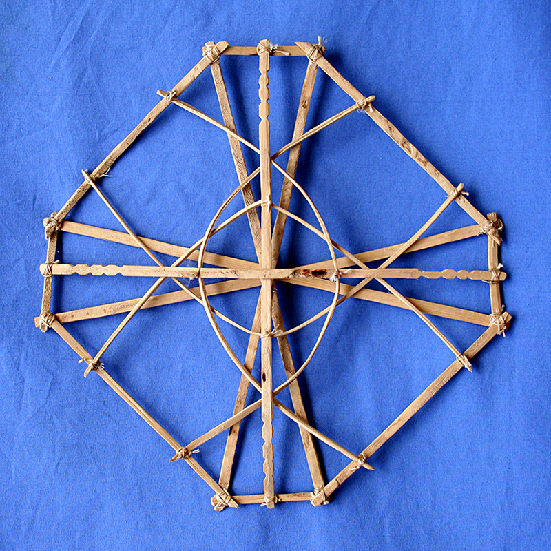
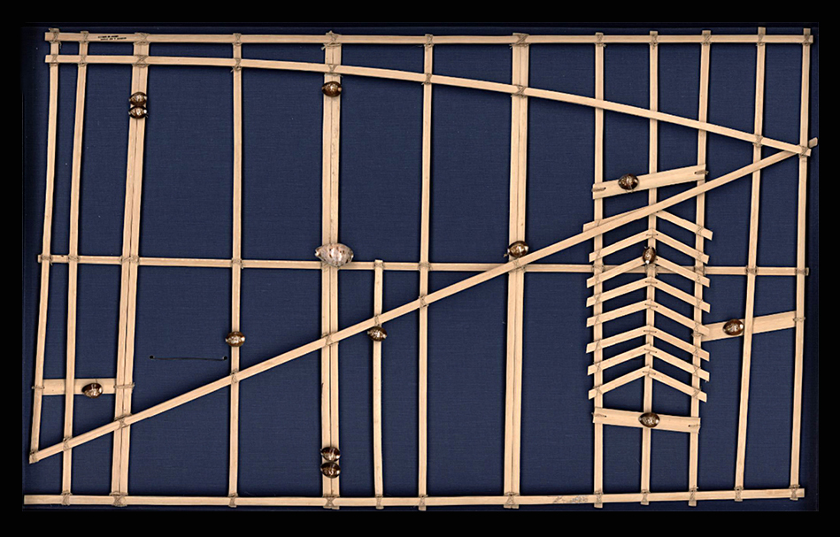
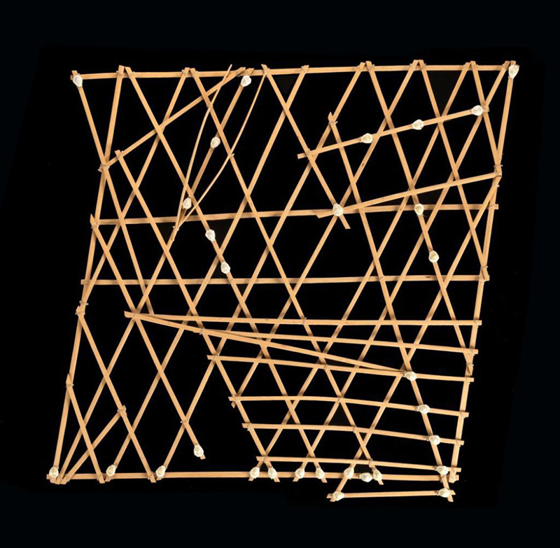
MICRONESIAN CARTOGRAPHY.
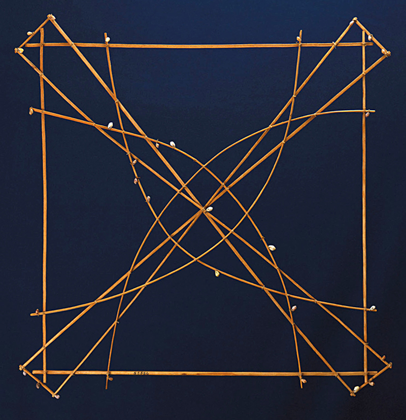
These charts were used by the inhabitants of the Marshall Islands to navigate their canoes. Shells represent islands. The ribs (made from the midribs of coconut fronds) show ocean swell patterns and currents. Often, only the person who made the map understood it, as there was no standardization between charts. The map-making process was handed down from father to son over many generations. A map was studied before a trip and was not referred to during the voyage.
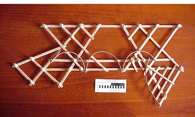
There were three types of maps:
Mattang
An abstract small chart, used for teaching only.
Meddo
A close-up of a few islands with the main ocean swells.
Rebbelib
Shows a whole chain of islands and the swell patterns.
This mapping system was not revealed to Westerners until 1862, when a missionary reported it in “Nautical Magazine and Naval Chronicle.”